Add titlePermalink:http://caribpix.net/8943-2/(opens in a new tab)Edit
JUL 1, 2021 — By Sheena Forde-Craigg – BGIS
All public services have made the necessary arrangements for the passing of Tropical Storm Elsa, which is expected to pass about 40 miles to the south of Barbados tomorrow morning.
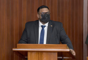
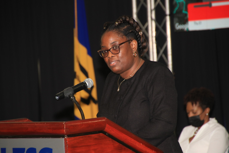
This is according to Minister of Home Affairs, Information and Public Affairs, Wilfred Abrahams, who along with Ministry officials, gave an update on preparations for the passage of Tropical Storm Elsa, during a press conference at the Lloyd Erskine Sandiford Centre.
Minister Abrahams stated: “From as early as yesterday, once we confirmed the trajectory of the system and that it was likely to develop into a storm, we accelerated a lot of our hurricane preparedness activities. Now being prepared in the hurricane season does not mean being prepared at the beginning and stop. It is a constant refreshing of your preparations; you have to be prepared and keep prepared.
“We met yesterday with all the key agencies and departments who play a role in disaster management, and we took a status report from them. Some activities happen since that meeting, and Cabinet was briefed again this morning as to the current state of preparedness of Barbados. I am pleased to say that we are in a way better shape than we were this time last year or the year before and most of the key preparation has actually in fact happened.”
In reference to the operation of essential services for the remainder of the day, he disclosed that:
- Emergency shelters will open at 5:30 p.m.;
- Essential businesses (supermarkets, hardware stores, pharmacies, and village shops) will close at 7:00 p.m.;
- The last bus from Bridgetown will leave at 9:00 p.m. (full capacity allowed for the night of Thursday, July 1), and
- Gas stations will close at 10:00 p.m. and the owners will be responsible for providing transportation for staff to their homes.
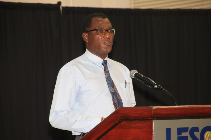
Permanent Secretary in the Ministry of Transport, Works and Water Resources, Mark Cummins, informed the public that the Ministry had been working assiduously to clear all of the necessary water courses and drains and that tree trimming crews were on the job.
“The Ministry of Public Works, we are in the process of ensuring that all of the necessary things that we need to do to make sure that we are as safe as possible. We are putting those things in place, and we also have our teams on standby to ensure that when the all clear is given, or if we have to go out during the event that we’re ready to do so. We have mobilised all of our depots [and] our essential workers are fully aware [and] apprised and outfitted,” Mr. Cummins reported.
Also updating the public was General Manager of the Barbados Water Authority, Keithroy Halliday. He stated: “The Barbados Water Authority has been making all the necessary preparations for the emergencies, which would have included the management of its community tanks. I just want to caution that as we get closer to the system, typically six hours, we will lock off all community tanks. They will be topped up and locked off for security reasons.
“Similarly, the water tankers will continue to work upwards until about four hours closer to, depending on the severity of the system, until the system reaches us. We will continue to top up all residential households as much as we possibly can,” Mr. Halliday said.
Director of the Department of Emergency Management (DEM), Kerry Hinds, in her update, noted: “The National Emergency Operations Centre (NEOC) will be activated tonight at 10. All the various agencies who are a part of the crisis coordination cell will be present…. At that time, we will ensure that there are periodic updates to the public in terms of the progression of the system, as well as any additional information that we would want persons to know,” Ms. Hinds stated.
To contact the DEM and the NEOC persons may telephone 438-7575. The public is being encouraged to be prepared and to monitor all official channels for updates on Tropical Storm Elsa.
JUL 1, 2021 — By Sheena Forde-Craigg – BGIS
XXXXXXXXXXXXXXXXXXXXXXXXXXXXXXXXXXXXXXXXXXXXXXXXXXXXXXXXXXXXXXXXXXXXXXXXXXXXXXXXXXXXXXXXXXXXXXXXXXXXXXXXXXXXXXXX
Low Lying Areas A Concern For Coastal Authorities
JUL 1, 2021 – By Joy-Ann Gill — BGIS
With the approach of Tropical Storm Elsa, authorities are highly concerned about low lying areas along Barbados’ coastline and the potential for storm surge damage.
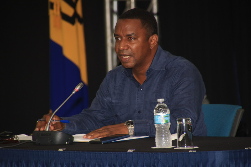
Director of the Coastal Zone Management Unit (CZMU), Dr. Leo Brewster, emphasised this earlier today, while providing an assessment of the coastal areas at a press conference at the Lloyd Erskine Sandiford Centre, chaired by Prime Minister Mia Amor Mottley.
Dr. Brewster told the nation that following discussions with the Barbados Meteorological Services (MET Service), a number of areas were of great concern for his department, in terms of their potential for storm surge damage.
Pointing out that these were especially on the east and southeast coasts of the island, he said: “Those areas would be low lying areas along the coastline, such as Cattle Wash, Lakes, Bath, Consett Bay, Martin’s Bay, and St. Mark’s predominantly, as well as some areas along the south east coast, such as the Crane and Seaview, St. Philip.”
Queried by the Prime Minister as to concerns or warnings with respect to the west coast or anything else which people should be made aware, Mr. Brewster stressed the need to move pleasure craft to safety given the choppiness expected at sea, and he recommended that they, along with fishing vessels, should make necessary arrangements to find safe harbour, either in Port St. Charles (St. Peter), or within the Bridgetown Fishing Complex.
The CZMU Director, while also alluding to advice given earlier in the press conference by Acting Director of the Barbados Meteorological Services, Sabu Best, that the west coast of Barbados was going to be very choppy, said: “We do know that the hoist at Consett Bay is also working, so some vessels that are normally on the east coast can make their way to Consett Bay to get hauled out during this time. “
Barbadians were also reminded by the Director that as a result of the Sargassum seaweed that came in on the night of the June 16, “when we had the lightning storm”, there was a lot of narrowing of the beaches, especially on the east, south east and south coasts.
Noting that the natural buffer that is provided by the beaches was now reduced, Dr. Brewster said: “Therefore, that’s why we have concerns, especially at this time, in terms of the amount of potential wave damage that can happen to the beaches and some coastal properties within the area. So, we will advise everyone to pay special attention to the MET Service broadcasts and the Department of Emergency Management.”
JUL 1, 2021 – By Joy-Ann Gill — BGIS